USE OF DRONES
IN ENERGY
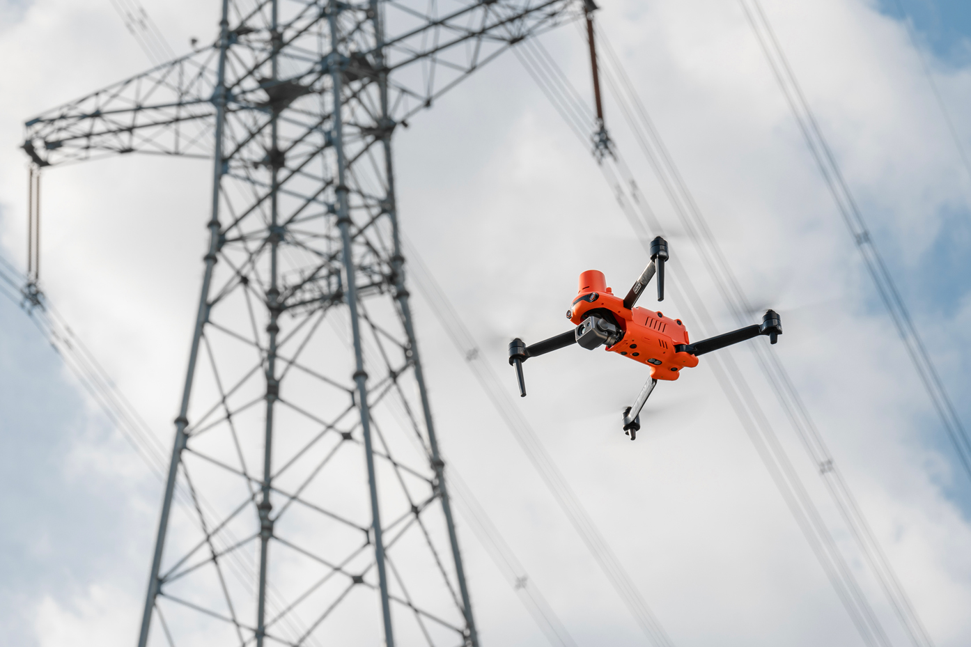
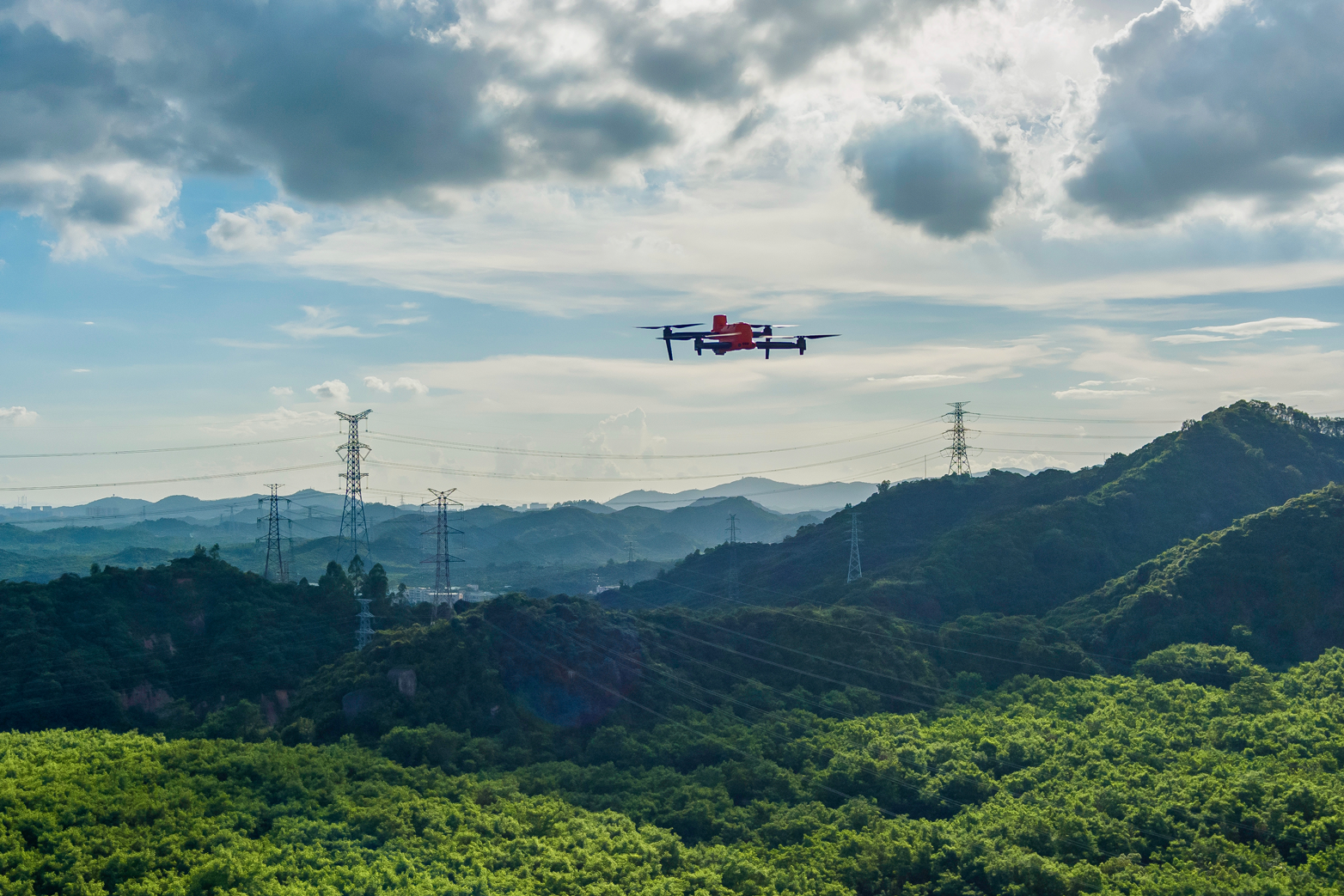
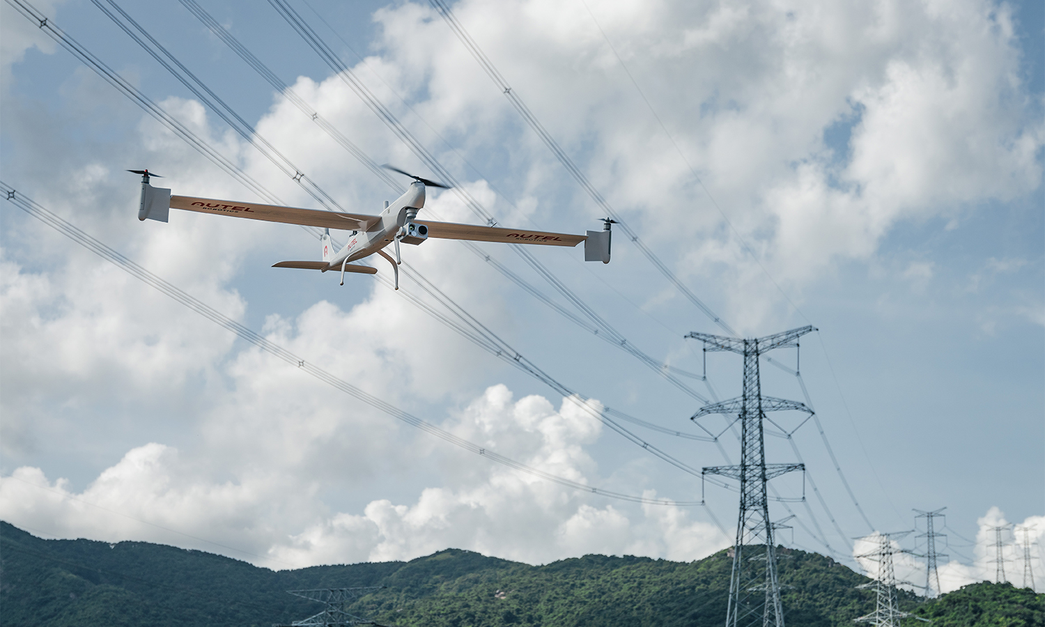
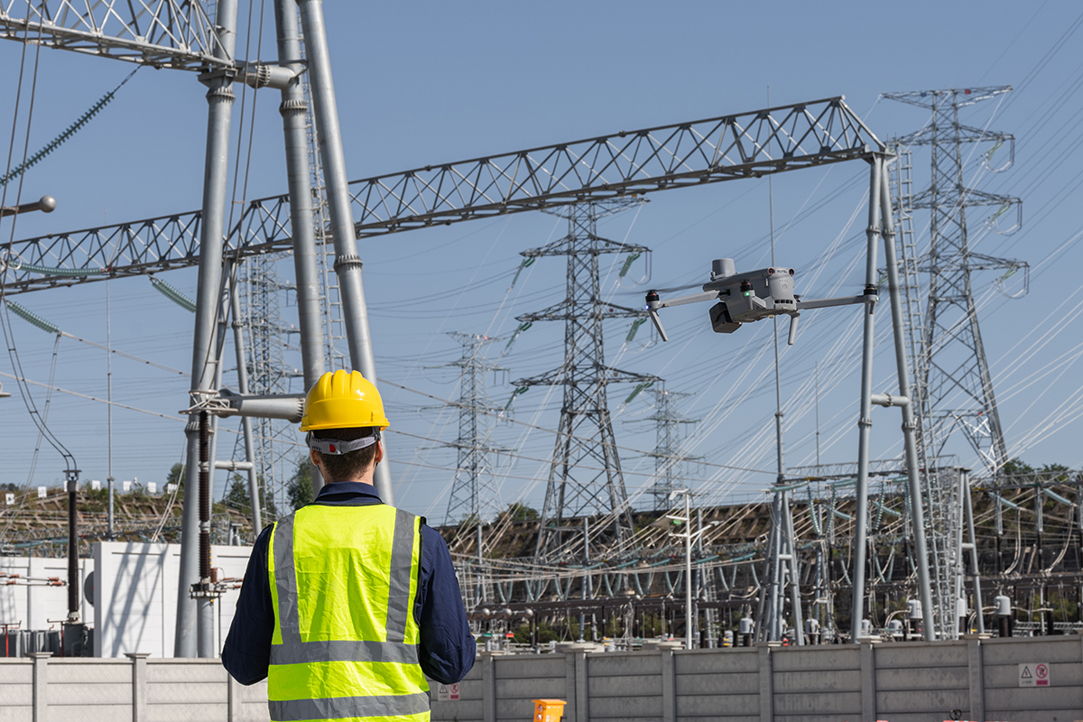
Inspect substations, pylons and power lines with drones. UAVs can capture and create 2D maps and 3D models of the substation with high accuracy, and omnidirectional obstacle avoidance technology allows for accurate surveys, quickly identifying faults. Easily view the appearance of equipment, detect and warn of problems before they become critical.
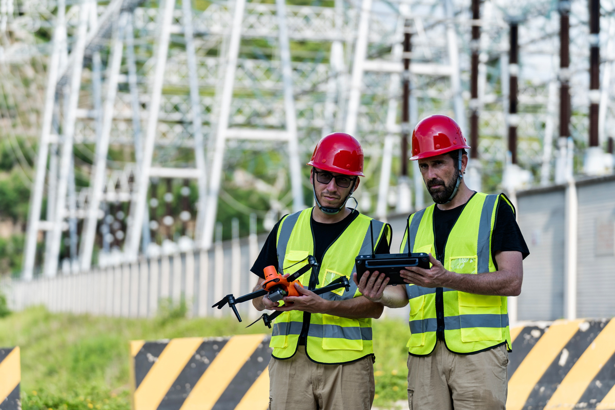
How are quadcopters useful in checking substations?
Intelligent modeling and classification
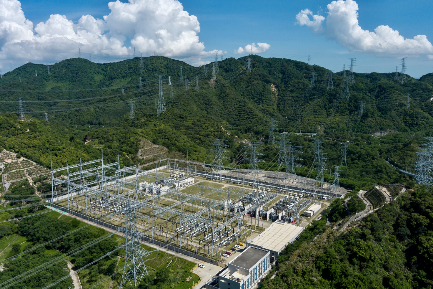
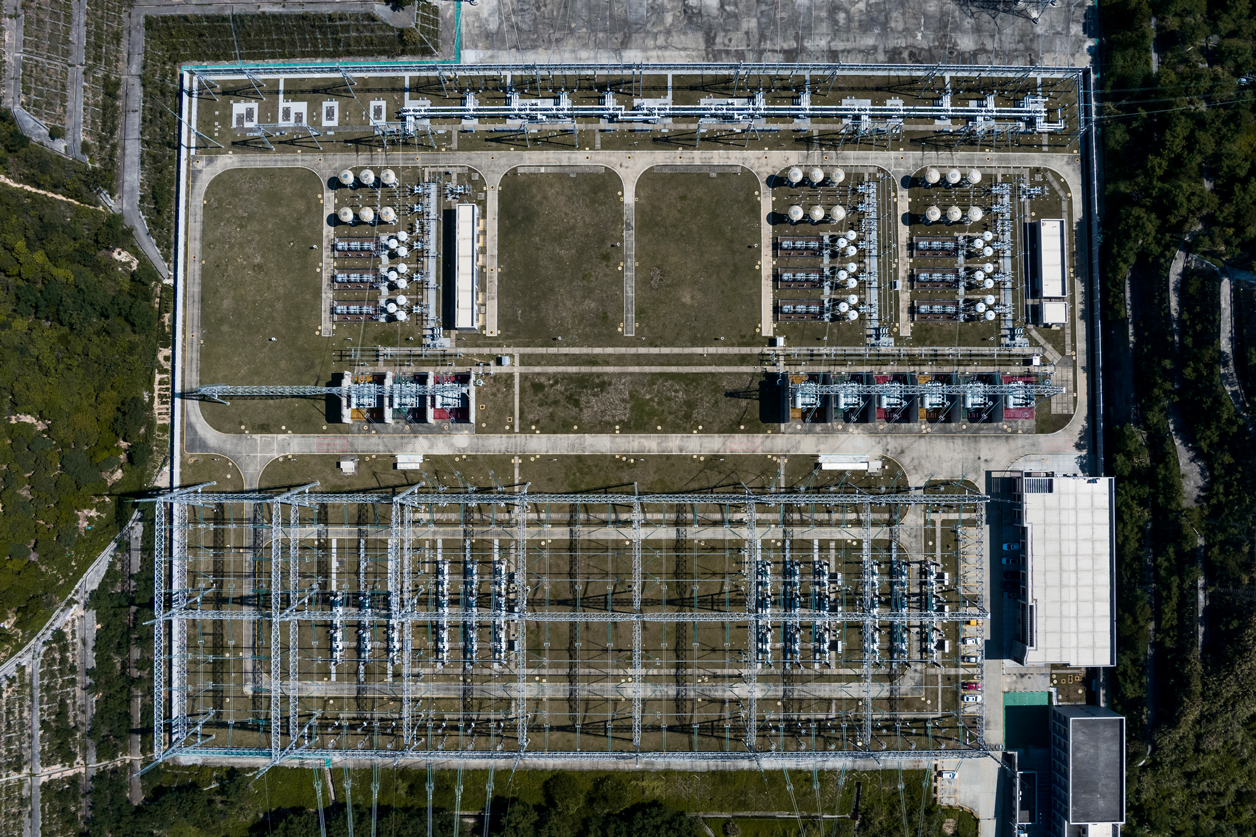
Using professional modeling software, Autel Mapper can perform high-precision 2D/3D substation model reconstruction, mapping sections based on voltage level, geographic location, and various other operations.
Comprehensive autonomous 3D review
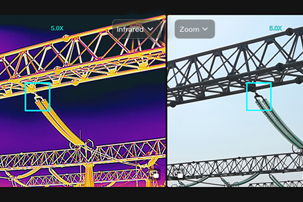
Day and night analysis with AI
Automatic inspection reports
After the inspection is completed, Autel SkyCommand Center will automatically generate a complete inspection report at the station, including inspection time, inspection route, equipment inspected and equipment parameter values, etc. The report will list the rejected equipment, their descriptions and corresponding images.