Oct 31, 2023 | Energy industry
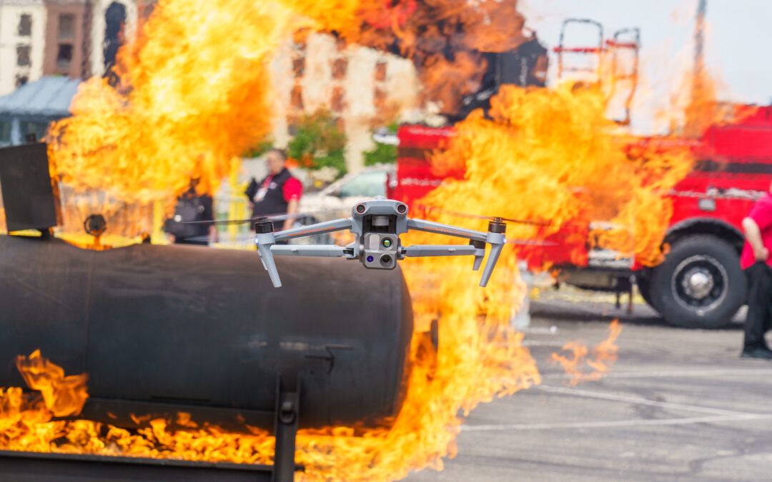
USE OF DRONESIN ENERGY Inspect substations, pylons and power lines with drones. UAVs can capture and create 2D maps and 3D models of the substation with high accuracy, and omnidirectional obstacle avoidance technology allows for accurate surveys, quickly identifying...
Oct 30, 2023 | Mining industry
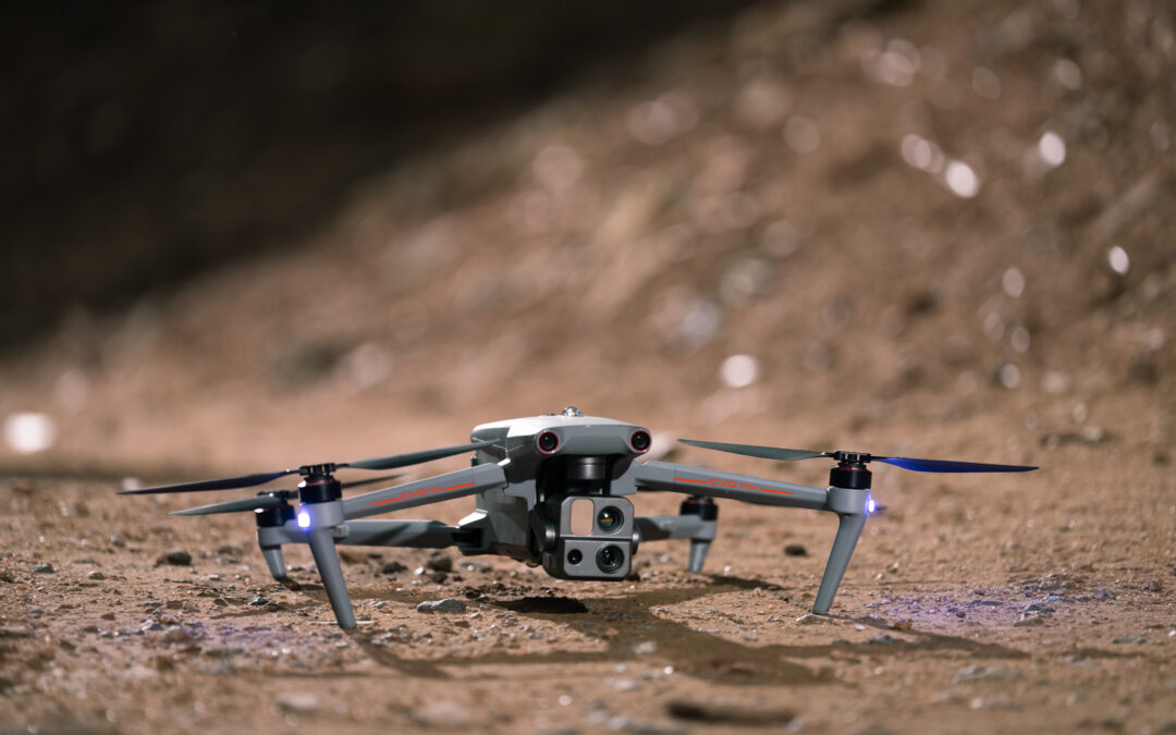
MINING INDUSTRY Drones in the mining industry help increase productivity, reduce risk, provide more effective monitoring, and improve workplace safety. Using drones is simple. To plan a route, it is enough to create a route on a mobile phone, easily start the drone...

Sep 30, 2023 | Cartography
USE OF DRONESIN MAPPING How useful are quadcopters in mapping? Drones help improve the accuracy and efficiency of mapping work and make it more accessible for a wide range of applications. Using drones is simple. To plan a route, it is enough to create a route on a...
Sep 30, 2023 | Oil and gas industry
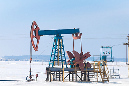
USE OF DRONESIN THE OIL AND GAS INDUSTRY Drone applications help reduce risk, increase productivity and increase efficiency in the oil and gas industry. Using drones is simple. To plan a route, it is enough to create a route on a mobile phone, easily start the drone...